A long lens can isolate a pattern of ridges that disappears inside a wide view. Before trying to make every distant layer equally crisp, decide what the atmosphere contributes. Haze can separate planes visually even while it reduces contrast; heat shimmer can blur detail in a different way.
Find a small arrangement within the view
Look for repeated slopes, a lit ridge against a darker one or a single shape that anchors the frame. Nikon’s telephoto-landscape feature discusses repeating forms and atmospheric separation as reasons to choose a longer view. Use those possibilities to identify a composition rather than simply magnifying a distant landmark.
Check the lower and upper edges carefully. A telephoto crop can turn a small bright patch into a dominant distraction. Compare a slightly wider version so the final frame retains enough context to explain the layers.
Diagnose softness before changing focus
Nikon’s troubleshooting guidance notes that heat haze can blur distant telephoto subjects. Observe whether detail shimmers or changes between otherwise similar frames. Compare a closer subject and review the stability and focus setup before assuming the lens has failed.
A different time or line of sight may produce a more useful result than a stronger editing adjustment. Keep the observation separate from a claim that every low-contrast distant scene is caused by the same atmospheric effect.
Preserve depth in the edit
Compare a restrained contrast adjustment with a stronger one. If every ridge becomes equally dark and crisp, the sense of recession may weaken. Choose the rendering that supports the arrangement you noticed, while avoiding claims of recovered detail that the file does not contain.
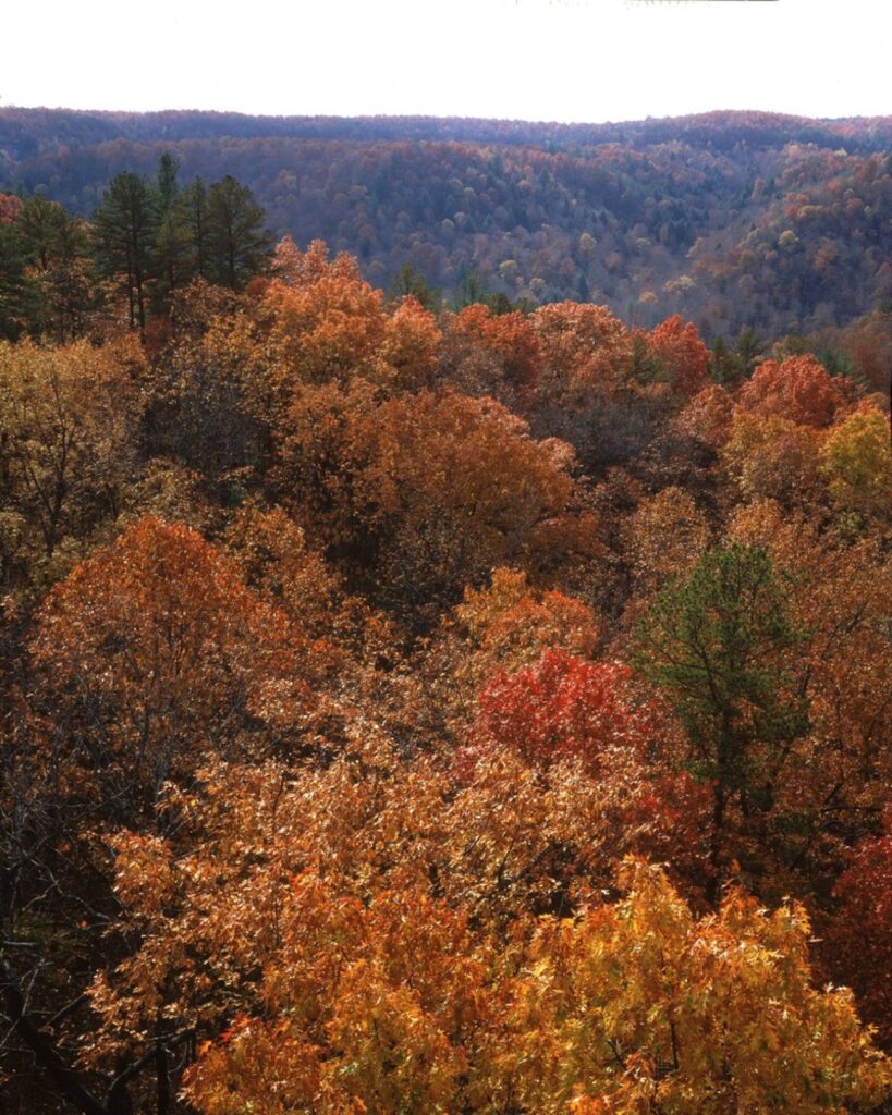
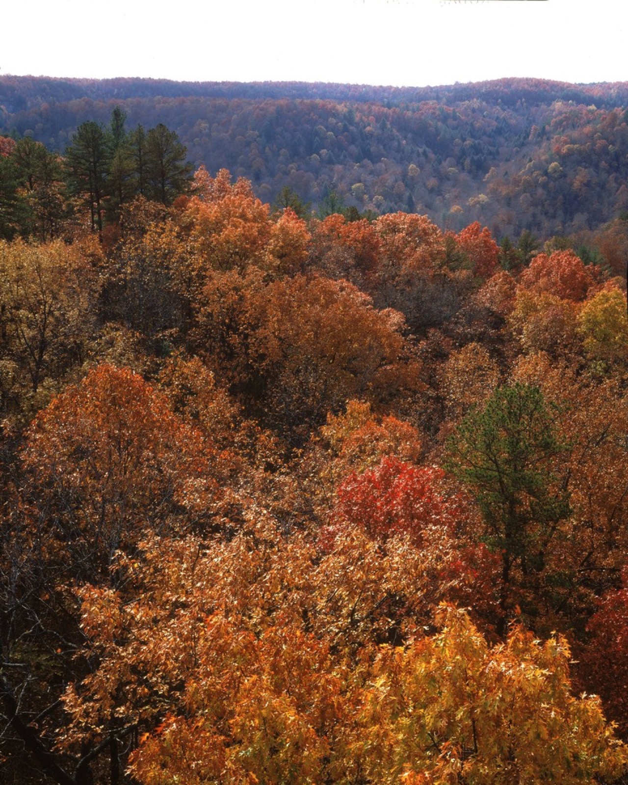
Our guides to telephoto handling and tripod sharpness checks address the equipment side. The National Park Service photograph above illustrates layered hills; it is an archival image and is not presented as a telephoto test or a report of current foliage.
Sources and further reading
Middle Creek Overlook, Big South Fork National River and Recreation Area. National Park Service photograph. Archival landscape illustration; no capture settings or current conditions are claimed.